The Nail Bourne in flood
Introduction
The photograph on this page of The Nail Bourne in flood by John Baker as part of the Geograph project.
The Geograph project started in 2005 with the aim of publishing, organising and preserving representative images for every square kilometre of Great Britain, Ireland and the Isle of Man.

There are currently over 7.5m images from over 14,400 individuals and you can help contribute to the project by visiting https://www.geograph.org.uk
The Nail Bourne in flood
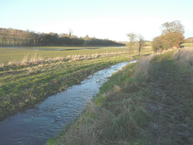
Image: © John Baker Taken: 23 Jan 2014
Seen from the Elham Valley Way, the level of the stream had receded but one can see where it had spilled over into the adjacent field.
Images are licensed for reuse under creativecommons.org/licenses/by-sa/2.0
Image Location
Latitude
51.145769
Longitude
1.110241