Ysgol Penllergaer School
Introduction
The photograph on this page of Ysgol Penllergaer School by Alan Richards as part of the Geograph project.
The Geograph project started in 2005 with the aim of publishing, organising and preserving representative images for every square kilometre of Great Britain, Ireland and the Isle of Man.

There are currently over 7.5m images from over 14,400 individuals and you can help contribute to the project by visiting https://www.geograph.org.uk
Ysgol Penllergaer School
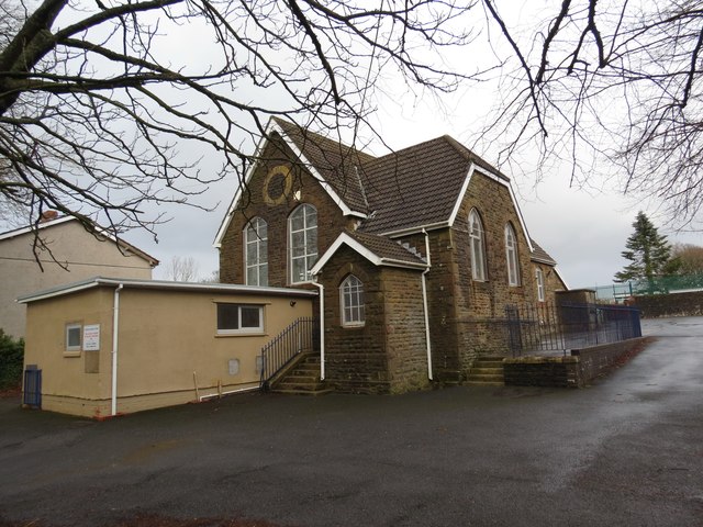
Image: © Alan Richards Taken: 1 Feb 2014
Ysgol Gynradd Penllergaer a adeiladwyd yn 1882. Dywed yr enw ar dalcen yr adeilad 'Gorseinon Board School'. Enw gwreiddiol y pentre oedd Corseinon Penllergaer Primary School build in 1882. The nameplate 'Gorseinon Board School' can be seen on its gable end, Corseinon (trans. Eynon's fen) being the original name of the village.
Images are licensed for reuse under creativecommons.org/licenses/by-sa/2.0
Image Location
Latitude
51.673564
Longitude
-4.003349