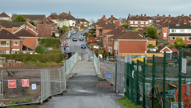
Flood alleviation works, Orangefield Park, Belfast (12)
Introduction
The photograph on this page of Flood alleviation works, Orangefield Park, Belfast (12) by Albert Bridge as part of the Geograph project.
The Geograph project started in 2005 with the aim of publishing, organising and preserving representative images for every square kilometre of Great Britain, Ireland and the Isle of Man.
There are currently over 7.5m images from over 14,400 individuals and you can help contribute to the project by visiting https://www.geograph.org.uk

Image: © Albert Bridge Taken: 1 Feb 2014
The view, across the new footbridge, towards Orangefield Lane. The Knock River now flows under it - from right to left. In the words of the official website: “Orangefield Park is about to be transformed, with work to divert the Knock River along a new channel, to take place today - Tuesday 28th January 2014. The River, which currently flows along the edge of the park, adjacent to many properties have been affected by flooding in the past, will be diverted into the heart of the park as a key component of the flood alleviation element of an integrated project under way in the area . . . . . Work in the park began last May 2013, with 40,000 tonnes of soil being moved to create the new river channel and naturalised flood plain. The permanent diversion of the river, along with other flood defences, means that there will soon be a high level of flood protection for the properties situated adjacent to the river, including Orangefield Park, Orangefield Green and Sandhill Park”. Image shows the same view in December 2011 long before work started on the scheme.

