Entrance to Cocken White House Farm
Introduction
The photograph on this page of Entrance to Cocken White House Farm by Robert Graham as part of the Geograph project.
The Geograph project started in 2005 with the aim of publishing, organising and preserving representative images for every square kilometre of Great Britain, Ireland and the Isle of Man.

There are currently over 7.5m images from over 14,400 individuals and you can help contribute to the project by visiting https://www.geograph.org.uk
Entrance to Cocken White House Farm
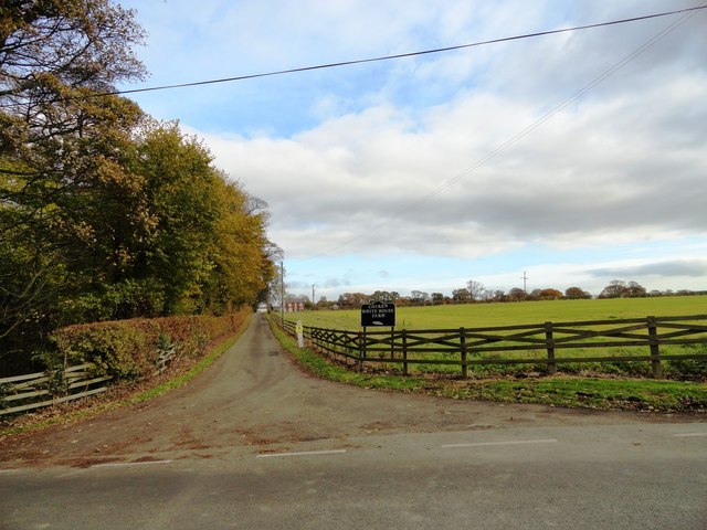
Image: © Robert Graham Taken: 13 Nov 2013
This leads of Cocken Lane south of Great Lumley. The farm is an old one, and is shown as High Cocken on the 1862 first series Ordnance Survey map.
Images are licensed for reuse under creativecommons.org/licenses/by-sa/2.0
Image Location


Leaflet Map data © OpenStreetMap
Latitude
54.824976
Longitude
-1.539257