Chart Lane
Introduction
The photograph on this page of Chart Lane by Ian Capper as part of the Geograph project.
The Geograph project started in 2005 with the aim of publishing, organising and preserving representative images for every square kilometre of Great Britain, Ireland and the Isle of Man.

There are currently over 7.5m images from over 14,400 individuals and you can help contribute to the project by visiting https://www.geograph.org.uk
Chart Lane
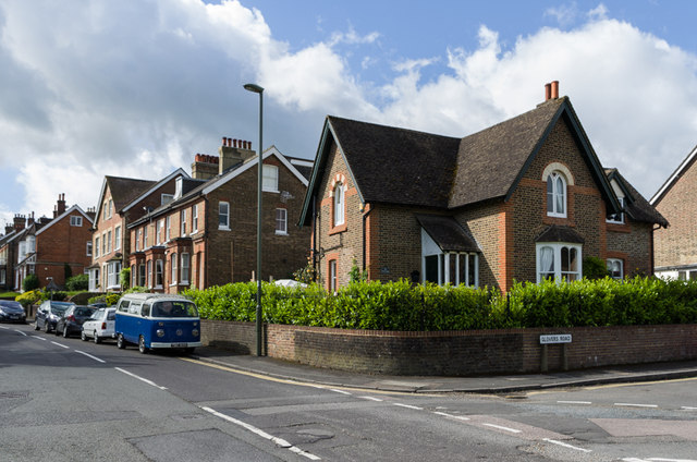
Image: © Ian Capper Taken: 15 Jun 2013
Chart Lane where it is met by Glover's Road. The corner house, Chart Lodge (24 Chart Lane), dates from around 1860 and following years of deterioration has recently been restored, resulting in an award in 2011 by The Reigate Society.
Images are licensed for reuse under creativecommons.org/licenses/by-sa/2.0
Image Location
Latitude
51.233317
Longitude
-0.196369