Dan-y-Bryn Road, Treforest
Introduction
The photograph on this page of Dan-y-Bryn Road, Treforest by Jaggery as part of the Geograph project.
The Geograph project started in 2005 with the aim of publishing, organising and preserving representative images for every square kilometre of Great Britain, Ireland and the Isle of Man.

There are currently over 7.5m images from over 14,400 individuals and you can help contribute to the project by visiting https://www.geograph.org.uk
Dan-y-Bryn Road, Treforest
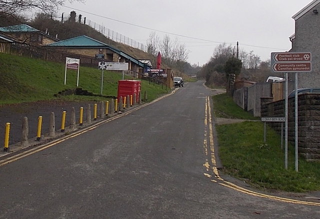
Image: © Jaggery Taken: 30 Jan 2014
Viewed from Kingsland Terrace. Arrows on brown signs on the right point towards a football club and a community centre. This is also the way to Dan-y-Bryn Farm.
Images are licensed for reuse under creativecommons.org/licenses/by-sa/2.0
Image Location
Latitude
51.593299
Longitude
-3.329502