SW end of Duke Street, Treforest
Introduction
The photograph on this page of SW end of Duke Street, Treforest by Jaggery as part of the Geograph project.
The Geograph project started in 2005 with the aim of publishing, organising and preserving representative images for every square kilometre of Great Britain, Ireland and the Isle of Man.

There are currently over 7.5m images from over 14,400 individuals and you can help contribute to the project by visiting https://www.geograph.org.uk
SW end of Duke Street, Treforest
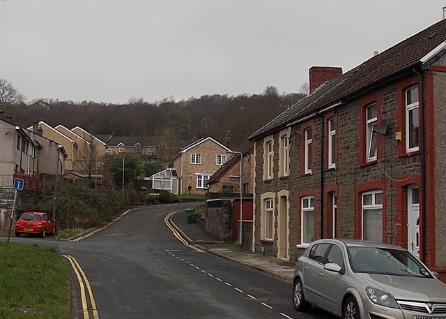
Image: © Jaggery Taken: 30 Jan 2014
Looking along Duke Street past the left turn for Park Close http://www.geograph.org.uk/photo/3831132 towards Birchley Close. http://www.geograph.org.uk/photo/3831124
Images are licensed for reuse under creativecommons.org/licenses/by-sa/2.0
Image Location
Latitude
51.591488
Longitude
-3.330604