Smalmstown
Introduction
The photograph on this page of Smalmstown by Oliver Dixon as part of the Geograph project.
The Geograph project started in 2005 with the aim of publishing, organising and preserving representative images for every square kilometre of Great Britain, Ireland and the Isle of Man.

There are currently over 7.5m images from over 14,400 individuals and you can help contribute to the project by visiting https://www.geograph.org.uk
Smalmstown
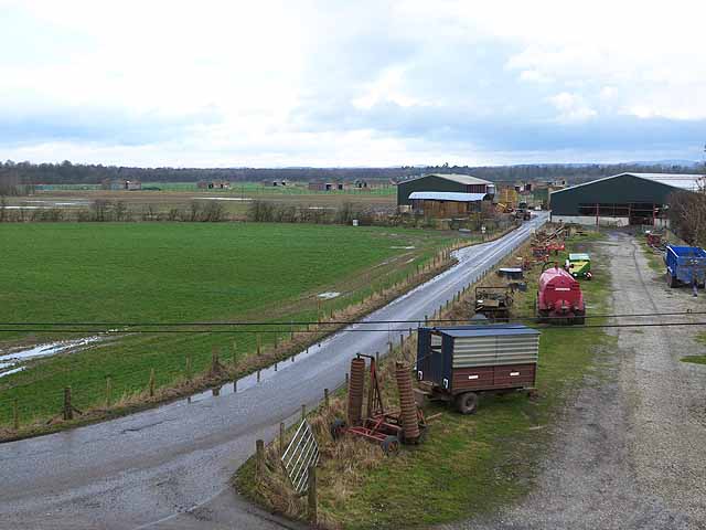
Image: © Oliver Dixon Taken: 29 Jan 2014
The scattered buildings in the distance were the Smalmstown sub-depot of the main MOD depot at Longtown. The road to the left was formerly a railway line - see Image for an interesting comparison with the same scene nine years previously.
Images are licensed for reuse under creativecommons.org/licenses/by-sa/2.0
Image Location
Latitude
55.009818
Longitude
-2.989435