Heaton Cemetery
Introduction
The photograph on this page of Heaton Cemetery by philandju as part of the Geograph project.
The Geograph project started in 2005 with the aim of publishing, organising and preserving representative images for every square kilometre of Great Britain, Ireland and the Isle of Man.

There are currently over 7.5m images from over 14,400 individuals and you can help contribute to the project by visiting https://www.geograph.org.uk
Heaton Cemetery
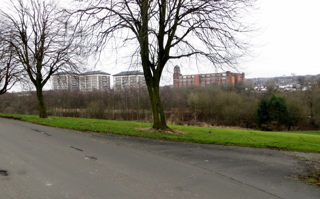
Image: © philandju Taken: 30 Jan 2014
Looking over the valley of the River Croal towards Thornbank flats and Croal Mill in The Pocket. When cotton spinning at Croal Mill ended the mill was taken over as a warehouse by a mail order company.
Images are licensed for reuse under creativecommons.org/licenses/by-sa/2.0
Image Location


Leaflet Map data © OpenStreetMap
Latitude
53.574395
Longitude
-2.454671