The Comber Greenway, Dundonald (6)
Introduction
The photograph on this page of The Comber Greenway, Dundonald (6) by Albert Bridge as part of the Geograph project.
The Geograph project started in 2005 with the aim of publishing, organising and preserving representative images for every square kilometre of Great Britain, Ireland and the Isle of Man.

There are currently over 7.5m images from over 14,400 individuals and you can help contribute to the project by visiting https://www.geograph.org.uk
The Comber Greenway, Dundonald (6)
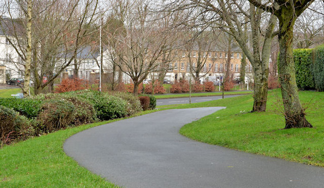
Image: © Albert Bridge Taken: 29 Jan 2014
The Greenway, close to Moatview Park, looking down to the Eastlink Road and here Image This short stretch is one of the few parts not built on the course of the old railway.
Images are licensed for reuse under creativecommons.org/licenses/by-sa/2.0
Image Location
Latitude
54.589591
Longitude
-5.812415