Wood Street, Manchester
Introduction
The photograph on this page of Wood Street, Manchester by Tricia Neal as part of the Geograph project.
The Geograph project started in 2005 with the aim of publishing, organising and preserving representative images for every square kilometre of Great Britain, Ireland and the Isle of Man.

There are currently over 7.5m images from over 14,400 individuals and you can help contribute to the project by visiting https://www.geograph.org.uk
Wood Street, Manchester
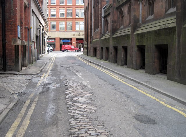
Image: © Tricia Neal Taken: 9 May 2012
This is looking along Wood Street to Deansgate. John Rylands Library is along the right, and there is a good view of the original setts beneath the tarmac. Once this narrow side-street would have been considered a main road.
Images are licensed for reuse under creativecommons.org/licenses/by-sa/2.0
Image Location
Latitude
53.480893
Longitude
-2.248439