Pear Tree Farm
Introduction
The photograph on this page of Pear Tree Farm by Alan Murray-Rust as part of the Geograph project.
The Geograph project started in 2005 with the aim of publishing, organising and preserving representative images for every square kilometre of Great Britain, Ireland and the Isle of Man.

There are currently over 7.5m images from over 14,400 individuals and you can help contribute to the project by visiting https://www.geograph.org.uk
Pear Tree Farm
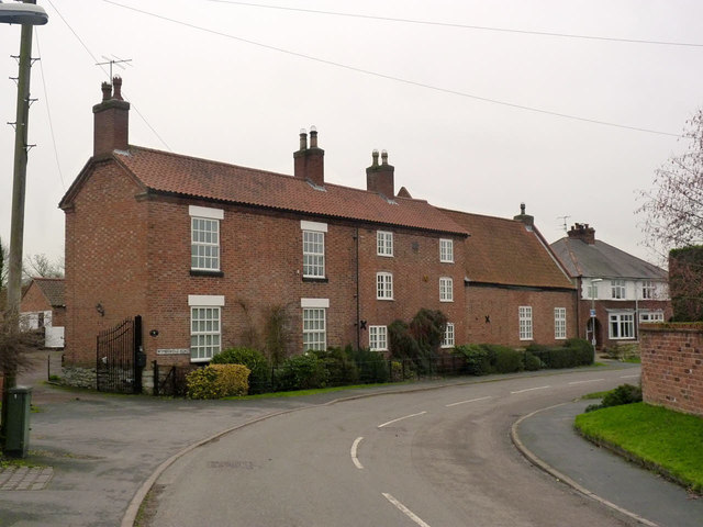
Image: © Alan Murray-Rust Taken: 24 Jan 2014
The farmhouse was clearly built in more than one stage. The attached barn has been latterly converted to residential use.
Images are licensed for reuse under creativecommons.org/licenses/by-sa/2.0
Image Location
Latitude
52.837666
Longitude
-1.103176