Footpath to Knight Road
Introduction
The photograph on this page of Footpath to Knight Road by David Anstiss as part of the Geograph project.
The Geograph project started in 2005 with the aim of publishing, organising and preserving representative images for every square kilometre of Great Britain, Ireland and the Isle of Man.

There are currently over 7.5m images from over 14,400 individuals and you can help contribute to the project by visiting https://www.geograph.org.uk
Footpath to Knight Road
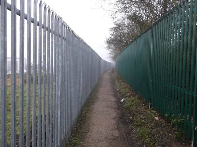
Image: © David Anstiss Taken: 21 Jan 2014
This footpath leads around Image, from one section of Knight Road to another. On the left is the railway line between Strood and Cuxton. Further along the path is a footbridge passing over the line to Cuxton Road.
Images are licensed for reuse under creativecommons.org/licenses/by-sa/2.0
Image Location
Latitude
51.387572
Longitude
0.484074