National Cycle Route 4 at Ynysawdre
Introduction
The photograph on this page of National Cycle Route 4 at Ynysawdre by eswales as part of the Geograph project.
The Geograph project started in 2005 with the aim of publishing, organising and preserving representative images for every square kilometre of Great Britain, Ireland and the Isle of Man.

There are currently over 7.5m images from over 14,400 individuals and you can help contribute to the project by visiting https://www.geograph.org.uk
National Cycle Route 4 at Ynysawdre
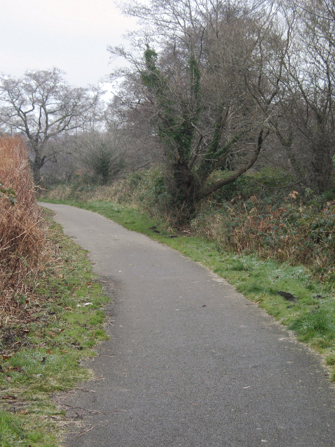
Image: © eswales Taken: Unknown
An area of woodland beside the River Ogmore lies to the right (east) of the cycle path here.
Images are licensed for reuse under creativecommons.org/licenses/by-sa/2.0
Image Location
Latitude
51.544078
Longitude
-3.583624