White Cliffs Country Trail near Worth
Introduction
The photograph on this page of White Cliffs Country Trail near Worth by Marathon as part of the Geograph project.
The Geograph project started in 2005 with the aim of publishing, organising and preserving representative images for every square kilometre of Great Britain, Ireland and the Isle of Man.

There are currently over 7.5m images from over 14,400 individuals and you can help contribute to the project by visiting https://www.geograph.org.uk
White Cliffs Country Trail near Worth
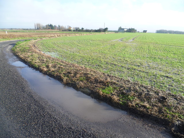
Image: © Marathon Taken: 25 Jan 2014
The White Cliffs Trails were created in 1987 by Dover District Council to link the towns of Dover, Deal and Sandwich, going along the white cliffs to the east of Dover to Deal with an inland return through the Kent countryside to include Sandwich. See http://www.bertuchi.co.uk/whitecliff03.php for some photographs of this part of the Trail. This section follows a tarmac road towards Temptye Farm, which can be seen in the distance, and Little Temptye. After a long spell of wet weather, and more rain overnight, many fields had become waterlogged. Nearby examples on the same day can be seen at http://www.geograph.org.uk/photo/3826810 and http://www.geograph.org.uk/photo/3826458 so walking through fields on a solid surface like this was much appreciated.
Images are licensed for reuse under creativecommons.org/licenses/by-sa/2.0
Image Location


Leaflet Map data © OpenStreetMap
Latitude
51.26226
Longitude
1.350931