The A610 Road near Aldercarr
Introduction
The photograph on this page of The A610 Road near Aldercarr by Jonathan Clitheroe as part of the Geograph project.
The Geograph project started in 2005 with the aim of publishing, organising and preserving representative images for every square kilometre of Great Britain, Ireland and the Isle of Man.

There are currently over 7.5m images from over 14,400 individuals and you can help contribute to the project by visiting https://www.geograph.org.uk
The A610 Road near Aldercarr
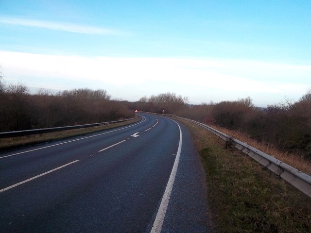
Image: © Jonathan Clitheroe Taken: 25 Jan 2014
An important wetland area is situated to the right of this main road.
Images are licensed for reuse under creativecommons.org/licenses/by-sa/2.0
Image Location
Latitude
53.028284
Longitude
-1.32721