Pit on Aldbury Common
Introduction
The photograph on this page of Pit on Aldbury Common by Dylan Moore as part of the Geograph project.
The Geograph project started in 2005 with the aim of publishing, organising and preserving representative images for every square kilometre of Great Britain, Ireland and the Isle of Man.

There are currently over 7.5m images from over 14,400 individuals and you can help contribute to the project by visiting https://www.geograph.org.uk
Pit on Aldbury Common
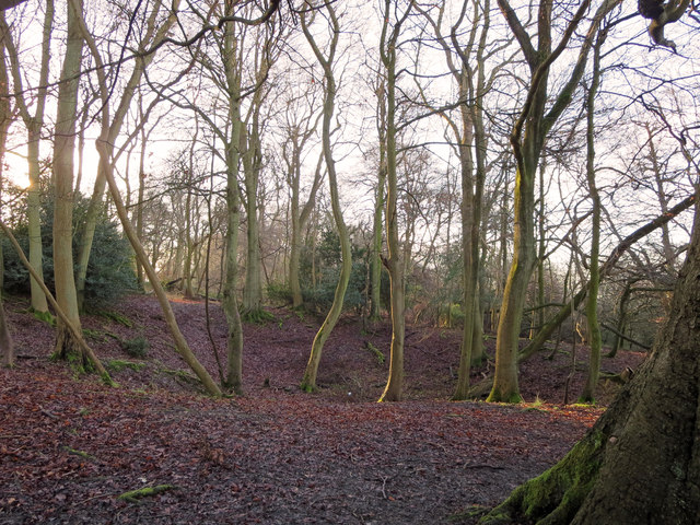
Image: © Dylan Moore Taken: 20 Jan 2014
The 1st Edition OS map shows this as a disused chalk pit. The Chalk Rock - a hard band at the base of the Upper Chalk - crops out here, and probably furnished hard chunks of chalk for burning to lime, probably used agriculturally in the Aylesbury Vale.
Images are licensed for reuse under creativecommons.org/licenses/by-sa/2.0
Image Location
Latitude
51.809094
Longitude
-0.595959