Hallen Road, Henbury
Introduction
The photograph on this page of Hallen Road, Henbury by Derek Harper as part of the Geograph project.
The Geograph project started in 2005 with the aim of publishing, organising and preserving representative images for every square kilometre of Great Britain, Ireland and the Isle of Man.

There are currently over 7.5m images from over 14,400 individuals and you can help contribute to the project by visiting https://www.geograph.org.uk
Hallen Road, Henbury
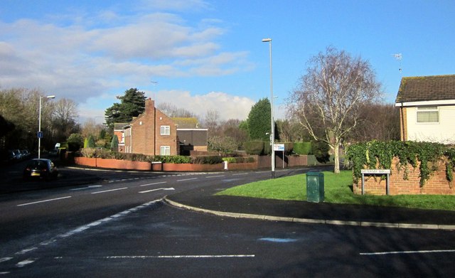
Image: © Derek Harper Taken: 19 Jan 2014
The B4067 seen from the junction with Battersby Way (foreground). Hallen Close, following the old line of Hallen Road, branches off to the left, crossing into Image
Images are licensed for reuse under creativecommons.org/licenses/by-sa/2.0
Image Location


Leaflet Map data © OpenStreetMap
Latitude
51.508026
Longitude
-2.635377