Swindon Road, Swindon
Introduction
The photograph on this page of Swindon Road, Swindon by Brian Robert Marshall as part of the Geograph project.
The Geograph project started in 2005 with the aim of publishing, organising and preserving representative images for every square kilometre of Great Britain, Ireland and the Isle of Man.

There are currently over 7.5m images from over 14,400 individuals and you can help contribute to the project by visiting https://www.geograph.org.uk
Swindon Road, Swindon
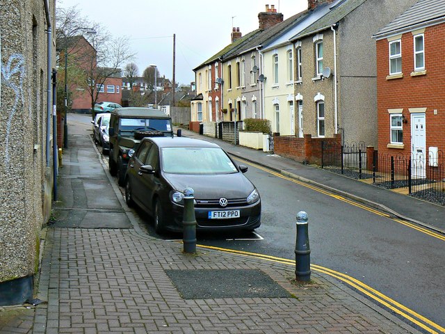
Image: © Brian Robert Marshall Taken: 27 Jan 2014
Swindon Road is part of the network of roads built in the Victorian era so connect the lower part of Swindon, which used to be called New Town, with the higher part, still called Old Town. The brick-built properties at the right are relatively recent additions to the housing stock. Once there was a garage here if I recall correctly.
Images are licensed for reuse under creativecommons.org/licenses/by-sa/2.0
Image Location
Latitude
51.556571
Longitude
-1.781428