Garn Fach Farm
Introduction
The photograph on this page of Garn Fach Farm by Alan Richards as part of the Geograph project.
The Geograph project started in 2005 with the aim of publishing, organising and preserving representative images for every square kilometre of Great Britain, Ireland and the Isle of Man.

There are currently over 7.5m images from over 14,400 individuals and you can help contribute to the project by visiting https://www.geograph.org.uk
Garn Fach Farm
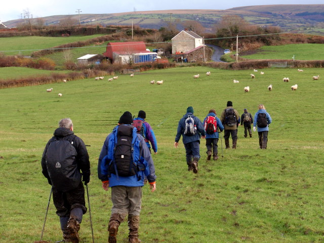
Image: © Alan Richards Taken: 29 Nov 2009
Cerddwyr yn anelu at anhedd-dy o'r enw Garn Fach a ffordd fach a elwir Heol Troeon Bach. Walkers approaching a property known as Garn Fach (trans. little cairn) and a minor road called Heol Troeon Bach (trans. road of little bends).
Images are licensed for reuse under creativecommons.org/licenses/by-sa/2.0
Image Location
Latitude
51.766569
Longitude
-4.022973