Bench mark, The Old School House, Widmerpool
Introduction
The photograph on this page of Bench mark, The Old School House, Widmerpool by Alan Murray-Rust as part of the Geograph project.
The Geograph project started in 2005 with the aim of publishing, organising and preserving representative images for every square kilometre of Great Britain, Ireland and the Isle of Man.

There are currently over 7.5m images from over 14,400 individuals and you can help contribute to the project by visiting https://www.geograph.org.uk
Bench mark, The Old School House, Widmerpool
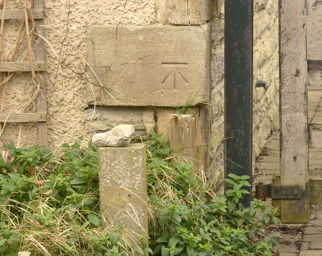
Image: © Alan Murray-Rust Taken: 24 Jan 2014
Looking as if it was cut yesterday, but certainly earlier than 1885, as it appears on the 1:2500 map of that date. See http://www.geograph.org.uk/photo/3826823 for location.
Images are licensed for reuse under creativecommons.org/licenses/by-sa/2.0
Image Location
Latitude
52.847687
Longitude
-1.062135