The Old School House, Widmerpool
Introduction
The photograph on this page of The Old School House, Widmerpool by Alan Murray-Rust as part of the Geograph project.
The Geograph project started in 2005 with the aim of publishing, organising and preserving representative images for every square kilometre of Great Britain, Ireland and the Isle of Man.

There are currently over 7.5m images from over 14,400 individuals and you can help contribute to the project by visiting https://www.geograph.org.uk
The Old School House, Widmerpool
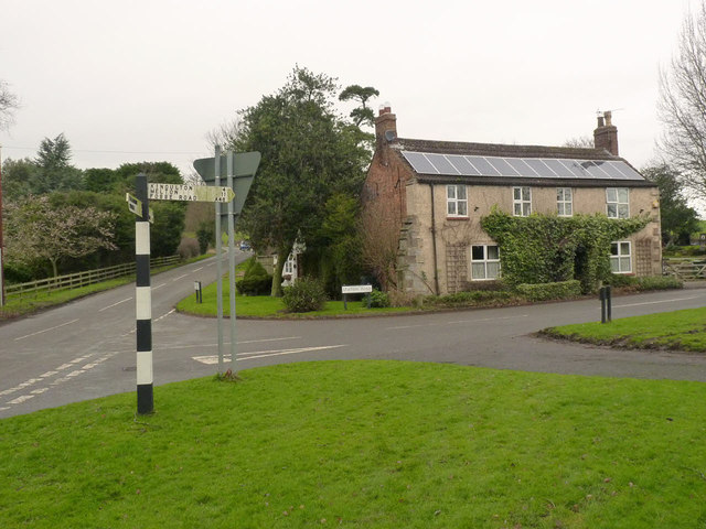
Image: © Alan Murray-Rust Taken: 24 Jan 2014
Marked as school on the earliest 1:2500 maps, prior to the building of a standard school at the junction of Main Street and Wysall Lane. There is a bench mark http://www.geograph.org.uk/photo/3826828 on the right-hand quoin of the building. The fingerpost is a standard Nottinghamshire County Council square concrete post.
Images are licensed for reuse under creativecommons.org/licenses/by-sa/2.0
Image Location
Latitude
52.847778
Longitude
-1.062282