On top of Tom na h-Iurach
Introduction
The photograph on this page of On top of Tom na h-Iurach by John Allan as part of the Geograph project.
The Geograph project started in 2005 with the aim of publishing, organising and preserving representative images for every square kilometre of Great Britain, Ireland and the Isle of Man.

There are currently over 7.5m images from over 14,400 individuals and you can help contribute to the project by visiting https://www.geograph.org.uk
On top of Tom na h-Iurach
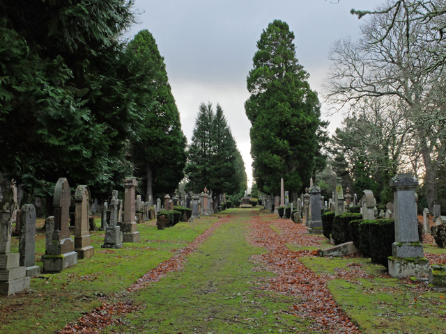
Image: © John Allan Taken: 23 Jan 2014
Some of the oldest graves in Inverness's Tomnahurich cemetery are here on the flattened summit of the hill. The hill itself is an isolated, 65m high, glacial deposit feature (a large drumlin?).
Images are licensed for reuse under creativecommons.org/licenses/by-sa/2.0
Image Location
Latitude
57.468176
Longitude
-4.242795