Croydon Road
Introduction
The photograph on this page of Croydon Road by Ian Capper as part of the Geograph project.
The Geograph project started in 2005 with the aim of publishing, organising and preserving representative images for every square kilometre of Great Britain, Ireland and the Isle of Man.

There are currently over 7.5m images from over 14,400 individuals and you can help contribute to the project by visiting https://www.geograph.org.uk
Croydon Road
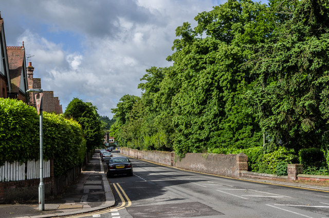
Image: © Ian Capper Taken: 15 Jun 2013
Looking towards its junction with Church Street in the far distance. The wall on the right mark the boundary of what were originally the grounds of Reigate Lodge, a large 18th century mansion. The house was demolished in the 1920s and the land used for what is now Reigate College (see Image) and housing, for example Rushworth Road (see Image). However the surrounding walls and shrubbery were retained, giving some privacy to the houses built immediately behind them, East Walk being along this section.
Images are licensed for reuse under creativecommons.org/licenses/by-sa/2.0
Image Location
Latitude
51.239633
Longitude
-0.197712