The Baileys Arms, Miskin
Introduction
The photograph on this page of The Baileys Arms, Miskin by Jaggery as part of the Geograph project.
The Geograph project started in 2005 with the aim of publishing, organising and preserving representative images for every square kilometre of Great Britain, Ireland and the Isle of Man.

There are currently over 7.5m images from over 14,400 individuals and you can help contribute to the project by visiting https://www.geograph.org.uk
The Baileys Arms, Miskin
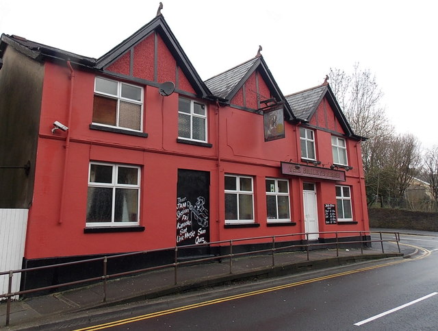
Image: © Jaggery Taken: 25 Jan 2014
Viewed across Miskin Road. The pub is a few metres on the Miskin side of the Mountain Ash boundary.
Images are licensed for reuse under creativecommons.org/licenses/by-sa/2.0
Image Location
Latitude
51.678661
Longitude
-3.373801