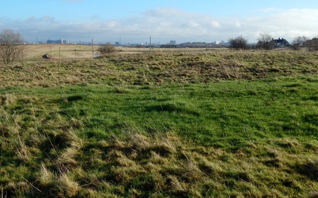
Former site of quarry
Introduction
The photograph on this page of Former site of quarry by Lairich Rig as part of the Geograph project.
The Geograph project started in 2005 with the aim of publishing, organising and preserving representative images for every square kilometre of Great Britain, Ireland and the Isle of Man.
There are currently over 7.5m images from over 14,400 individuals and you can help contribute to the project by visiting https://www.geograph.org.uk

Image: © Lairich Rig Taken: 11 Jan 2014
For comments on the area as a whole, see Image In the present view, the building on the right is Image The disturbed area in the foreground is what the second-edition OS map (revised c.1895) labels an "old quarry"; it is shown there containing water. Just to the SSE of it, beside the road, the same map shows a small unlabelled building. The first-edition 6-inch map (surveyed in 1857) identifies that building as a powder magazine (see Image); the same map shows but does not label the quarry, which was not then filled with water. The old quarry was clearly filled in long ago; few traces are visible today. The quarry is marked on an OS map revised about 1911, but not on one that was revised in about 1939. An item about a Image discusses two old quarries (of a similar size) not far to the west, which, according to an old geology article cited there, are thought to have been worked for what was locally called Gallowhill Limestone (which, incidentally, was used to build the powder magazine). As for the site shown in the present photograph, the geological map in the old article shows it lying at the edge of a band of "Hurlet Limestone and Coal". Not far to the south, a tunnel had been constructed for the railway; the geology of the area would therefore have had more than just a theoretical interest.

