Nottingham Geospatial Building
Introduction
The photograph on this page of Nottingham Geospatial Building by SK53 as part of the Geograph project.
The Geograph project started in 2005 with the aim of publishing, organising and preserving representative images for every square kilometre of Great Britain, Ireland and the Isle of Man.

There are currently over 7.5m images from over 14,400 individuals and you can help contribute to the project by visiting https://www.geograph.org.uk
Nottingham Geospatial Building
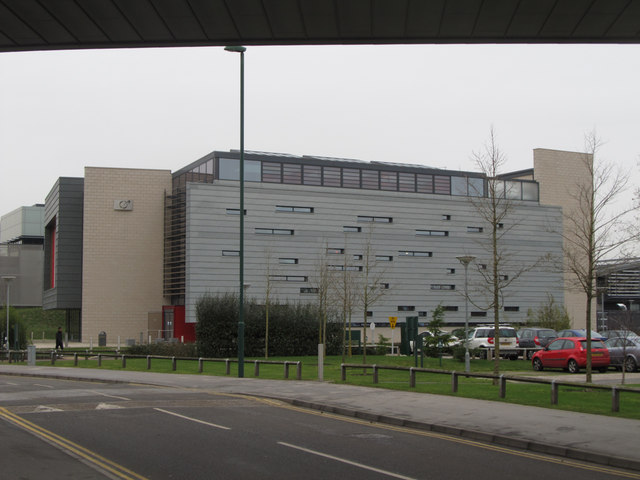
Image: © SK53 Taken: 24 Jan 2014
This was the second building to go up on the Innovation Park side of the Jubilee Campus (between the railway line and Triumph Road), and it stood in isolation for a couple of years before the area between it and the Sports Centre was infilled. The building houses multi-disciplinary research groups, originally these were largely drawn from the Computer Science and Geography departments. Inside it is a fairly conventional open-plan office building with offices off the main floor spaces. The building is seen through the arch of the Sir Colin Campbell building which spans Triumph Road.
Images are licensed for reuse under creativecommons.org/licenses/by-sa/2.0
Image Location
Latitude
52.951786
Longitude
-1.183872