The former New Inn Manor, Widmerpool
Introduction
The photograph on this page of The former New Inn Manor, Widmerpool by Alan Murray-Rust as part of the Geograph project.
The Geograph project started in 2005 with the aim of publishing, organising and preserving representative images for every square kilometre of Great Britain, Ireland and the Isle of Man.

There are currently over 7.5m images from over 14,400 individuals and you can help contribute to the project by visiting https://www.geograph.org.uk
The former New Inn Manor, Widmerpool
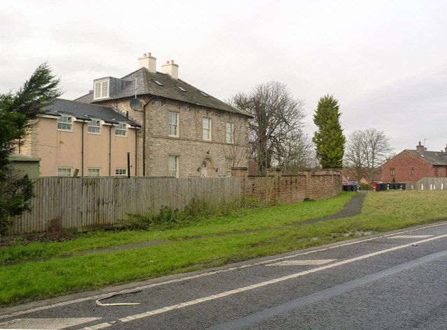
Image: © Alan Murray-Rust Taken: 24 Jan 2014
This stood alongside the old alignment of the unmodernised Fosse Way, now the A46 dual carriageway. The line of wheelie bins marks the closed-off original road to Nottingham.
Images are licensed for reuse under creativecommons.org/licenses/by-sa/2.0
Image Location
Latitude
52.853652
Longitude
-1.032454