B3301 in Griggs
Introduction
The photograph on this page of B3301 in Griggs by David Smith as part of the Geograph project.
The Geograph project started in 2005 with the aim of publishing, organising and preserving representative images for every square kilometre of Great Britain, Ireland and the Isle of Man.

There are currently over 7.5m images from over 14,400 individuals and you can help contribute to the project by visiting https://www.geograph.org.uk
B3301 in Griggs
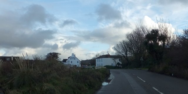
Image: © David Smith Taken: 17 Jan 2014
The road skirts Griggs Quay, at the southern end of the Hayle estuary. On the left is the Old Quay House, an inn
Images are licensed for reuse under creativecommons.org/licenses/by-sa/2.0
Image Location
Latitude
50.175927
Longitude
-5.43988