Coombe Valley allotments, Teignmouth
Introduction
The photograph on this page of Coombe Valley allotments, Teignmouth by Robin Stott as part of the Geograph project.
The Geograph project started in 2005 with the aim of publishing, organising and preserving representative images for every square kilometre of Great Britain, Ireland and the Isle of Man.

There are currently over 7.5m images from over 14,400 individuals and you can help contribute to the project by visiting https://www.geograph.org.uk
Coombe Valley allotments, Teignmouth
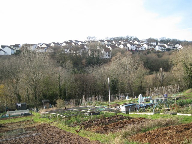
Image: © Robin Stott Taken: 11 Dec 2012
The plots slope down towards the Bitton Brook – upstream it was called the Buddle Brook. Across the valley is the Moor View Drive estate in Image
Images are licensed for reuse under creativecommons.org/licenses/by-sa/2.0
Image Location
Latitude
50.558019
Longitude
-3.510508