Pears Road, Hounslow
Introduction
The photograph on this page of Pears Road, Hounslow by David Howard as part of the Geograph project.
The Geograph project started in 2005 with the aim of publishing, organising and preserving representative images for every square kilometre of Great Britain, Ireland and the Isle of Man.

There are currently over 7.5m images from over 14,400 individuals and you can help contribute to the project by visiting https://www.geograph.org.uk
Pears Road, Hounslow
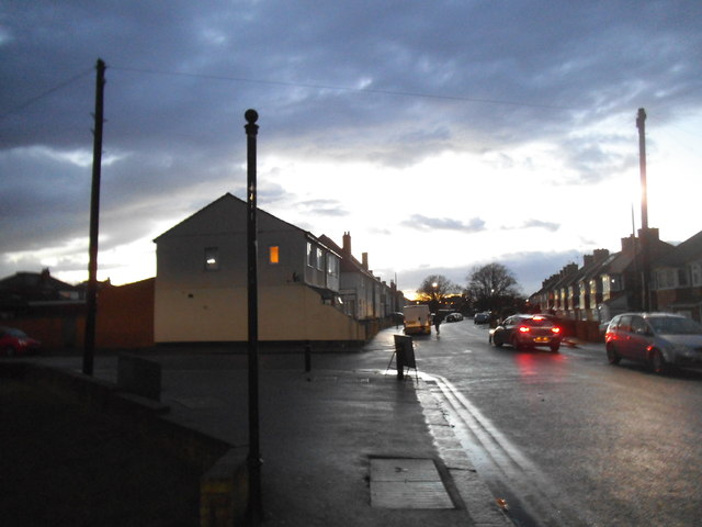
Image: © David Howard Taken: 25 Jan 2014
The council depot is on the left and the road is closed half way along ahead.
Images are licensed for reuse under creativecommons.org/licenses/by-sa/2.0
Image Location
Latitude
51.469825
Longitude
-0.350332