Track under a railway bridge in Stonehouse
Introduction
The photograph on this page of Track under a railway bridge in Stonehouse by Jaggery as part of the Geograph project.
The Geograph project started in 2005 with the aim of publishing, organising and preserving representative images for every square kilometre of Great Britain, Ireland and the Isle of Man.

There are currently over 7.5m images from over 14,400 individuals and you can help contribute to the project by visiting https://www.geograph.org.uk
Track under a railway bridge in Stonehouse
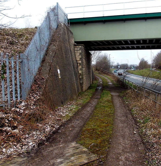
Image: © Jaggery Taken: 24 Mar 2013
The track alongside the A419 Bristol Road leads to this field gate. http://www.geograph.org.uk/photo/3825192
Images are licensed for reuse under creativecommons.org/licenses/by-sa/2.0
Image Location
Latitude
51.74531
Longitude
-2.294558