Mobile homes off Brookfield Lane
Introduction
The photograph on this page of Mobile homes off Brookfield Lane by Robin Webster as part of the Geograph project.
The Geograph project started in 2005 with the aim of publishing, organising and preserving representative images for every square kilometre of Great Britain, Ireland and the Isle of Man.

There are currently over 7.5m images from over 14,400 individuals and you can help contribute to the project by visiting https://www.geograph.org.uk
Mobile homes off Brookfield Lane
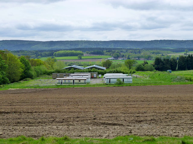
Image: © Robin Webster Taken: 11 May 2012
They appear to be associated with the buildings beyond, which are something to do with agricultural processing or packing.
Images are licensed for reuse under creativecommons.org/licenses/by-sa/2.0
Image Location
Latitude
50.990923
Longitude
-0.663748