Chesters Road
Introduction
The photograph on this page of Chesters Road by Richard Webb as part of the Geograph project.
The Geograph project started in 2005 with the aim of publishing, organising and preserving representative images for every square kilometre of Great Britain, Ireland and the Isle of Man.

There are currently over 7.5m images from over 14,400 individuals and you can help contribute to the project by visiting https://www.geograph.org.uk
Chesters Road
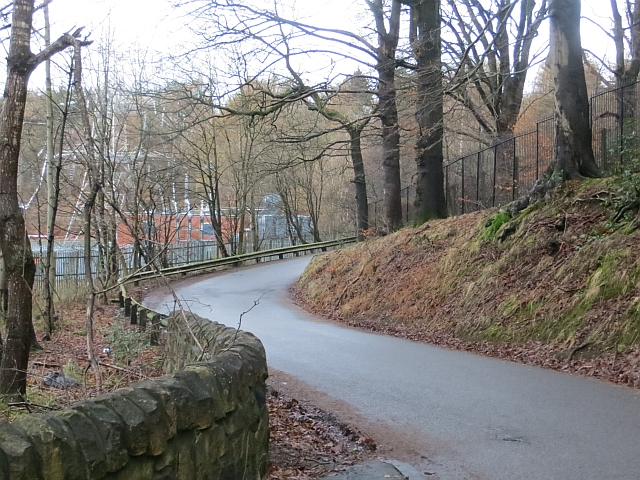
Image: © Richard Webb Taken: 19 Jan 2014
A steep hill up to Bearsden. The fortified woodland is probably part of the gardens of distant big houses. A path runs along the road on the left through Garscadden Wood.
Images are licensed for reuse under creativecommons.org/licenses/by-sa/2.0
Image Location
Latitude
55.915149
Longitude
-4.348625