Little Hadham: Ford at Hadham Ford
Introduction
The photograph on this page of Little Hadham: Ford at Hadham Ford by Nigel Cox as part of the Geograph project.
The Geograph project started in 2005 with the aim of publishing, organising and preserving representative images for every square kilometre of Great Britain, Ireland and the Isle of Man.

There are currently over 7.5m images from over 14,400 individuals and you can help contribute to the project by visiting https://www.geograph.org.uk
Little Hadham: Ford at Hadham Ford
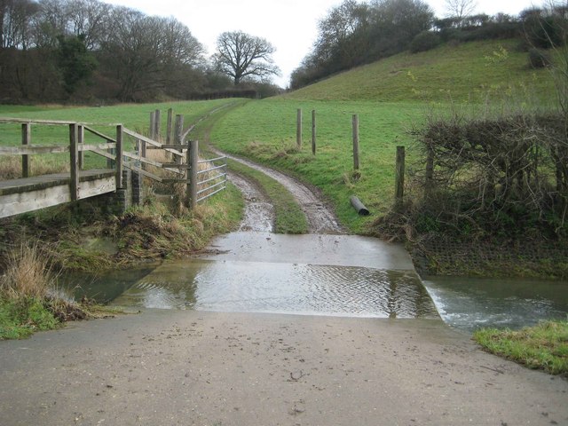
Image: © Nigel Cox Taken: 19 Jan 2014
But not the ford after which the village was named, that being the ford where the main road between the Hadhams crossed over the River Ash. Today that original ford has been replaced by a bridge and this ford, which is about 70 metres upstream of the original, is for agricultural use only.
Images are licensed for reuse under creativecommons.org/licenses/by-sa/2.0
Image Location
Latitude
51.876374
Longitude
0.084799