Bestwood Road, Nottingham
Introduction
The photograph on this page of Bestwood Road, Nottingham by David Hallam-Jones as part of the Geograph project.
The Geograph project started in 2005 with the aim of publishing, organising and preserving representative images for every square kilometre of Great Britain, Ireland and the Isle of Man.

There are currently over 7.5m images from over 14,400 individuals and you can help contribute to the project by visiting https://www.geograph.org.uk
Bestwood Road, Nottingham
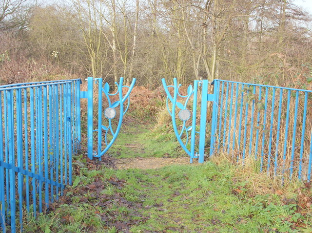
Image: © David Hallam-Jones Taken: 24 Jan 2014
The ornate entrance into Moorbridge Nature Reserve from Bestwood Road (the B683). The Moorbridge Pond site, comprising over 2.5 hectares, is managed by the Nottingham Wildlife Trust under licence from Nottingham City Council. It is one of the very few wetland sites remaining within the city boundary. The pond is situated in the same location as the original "Bull Well", a freshwater spring, and is a remnant of a piece of wetland formerly known as Bulwell Bogs.
Images are licensed for reuse under creativecommons.org/licenses/by-sa/2.0
Image Location
Latitude
53.01239
Longitude
-1.186157