Leen Valley Walk, Bestwood, Notts.
Introduction
The photograph on this page of Leen Valley Walk, Bestwood, Notts. by David Hallam-Jones as part of the Geograph project.
The Geograph project started in 2005 with the aim of publishing, organising and preserving representative images for every square kilometre of Great Britain, Ireland and the Isle of Man.

There are currently over 7.5m images from over 14,400 individuals and you can help contribute to the project by visiting https://www.geograph.org.uk
Leen Valley Walk, Bestwood, Notts.
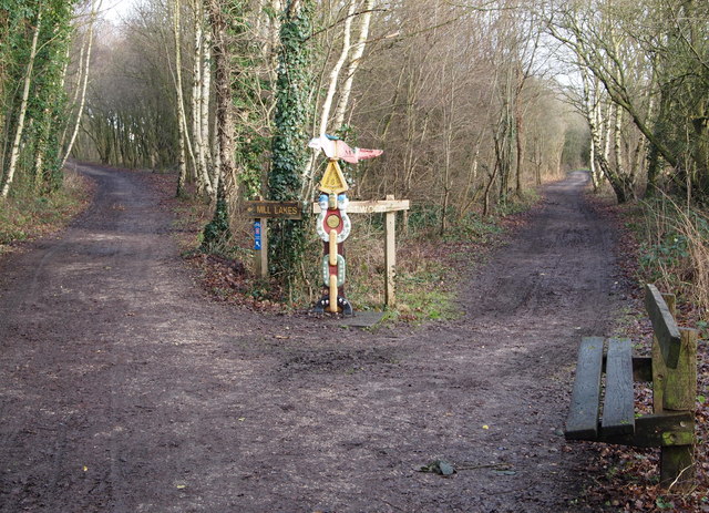
Image: © David Hallam-Jones Taken: 24 Jan 2014
The cycle track/footpath divides here with the right-hand path going towards Bestwood Country Park and the left-hand one heading towards Bestwood Road and Mill Lakes. I believe that this was previously the track bed of part of the former Great Northern Railway Leen Valley line.
Images are licensed for reuse under creativecommons.org/licenses/by-sa/2.0
Image Location
Latitude
53.017399
Longitude
-1.182485