Bestwood Country Park, Notts.
Introduction
The photograph on this page of Bestwood Country Park, Notts. by David Hallam-Jones as part of the Geograph project.
The Geograph project started in 2005 with the aim of publishing, organising and preserving representative images for every square kilometre of Great Britain, Ireland and the Isle of Man.

There are currently over 7.5m images from over 14,400 individuals and you can help contribute to the project by visiting https://www.geograph.org.uk
Bestwood Country Park, Notts.
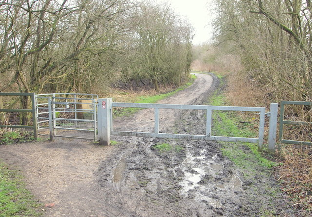
Image: © David Hallam-Jones Taken: 24 Jan 2014
An access point leading to the western side of Bestwood Country Park from a section of the Leen Valley Walk. This location is 5-10 minutes away from the eastern end of Mill Lane, to the left, and 10-15 minutes away from Hucknall Road (the A611) by continuing to the right.
Images are licensed for reuse under creativecommons.org/licenses/by-sa/2.0
Image Location
Latitude
53.017758
Longitude
-1.18233