Back of Bouquet House, Prestwood
Introduction
The photograph on this page of Back of Bouquet House, Prestwood by David Hillas as part of the Geograph project.
The Geograph project started in 2005 with the aim of publishing, organising and preserving representative images for every square kilometre of Great Britain, Ireland and the Isle of Man.

There are currently over 7.5m images from over 14,400 individuals and you can help contribute to the project by visiting https://www.geograph.org.uk
Back of Bouquet House, Prestwood
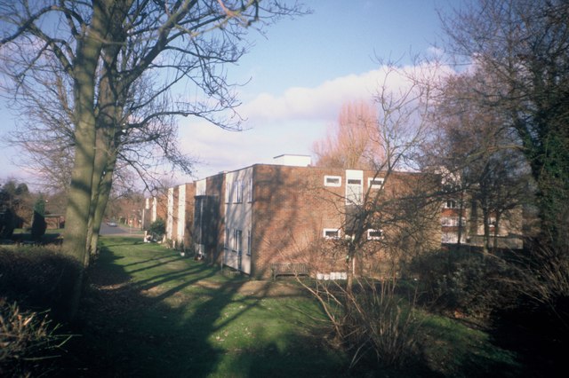
Image: © David Hillas Taken: 24 Jan 2000
Taken in January 2000, this photo shows the back of Bouquet House from the path in Groom Road. It contained flats for elderly people to live in, but it closed shortly after this photo was taken and Bouquet Close, having twelve houses, was built on this site.
Images are licensed for reuse under creativecommons.org/licenses/by-sa/2.0
Image Location
Latitude
51.695122
Longitude
-0.738462