Unfarmed land on the fringe of Eyemouth
Introduction
The photograph on this page of Unfarmed land on the fringe of Eyemouth by Graham Robson as part of the Geograph project.
The Geograph project started in 2005 with the aim of publishing, organising and preserving representative images for every square kilometre of Great Britain, Ireland and the Isle of Man.

There are currently over 7.5m images from over 14,400 individuals and you can help contribute to the project by visiting https://www.geograph.org.uk
Unfarmed land on the fringe of Eyemouth
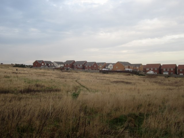
Image: © Graham Robson Taken: 21 Jan 2014
An unfarmed field field on the fringe of Eyemouth. The presence of a what looks like a fairly recently completed housing development on the other side of the field suggests that the land is owned by the developer and more houses were or are planned to be built on the site. However owing to factors unknown (possibly including the economic situation of the country in recent years) the site is still undeveloped and hasn't been put back into agriculture so is currently being utilised by dog walkers.
Images are licensed for reuse under creativecommons.org/licenses/by-sa/2.0
Image Location
Latitude
55.869755
Longitude
-2.10656