Mascalls Road - new speed markings
Introduction
The photograph on this page of Mascalls Road - new speed markings by Stephen Craven as part of the Geograph project.
The Geograph project started in 2005 with the aim of publishing, organising and preserving representative images for every square kilometre of Great Britain, Ireland and the Isle of Man.

There are currently over 7.5m images from over 14,400 individuals and you can help contribute to the project by visiting https://www.geograph.org.uk
Mascalls Road - new speed markings
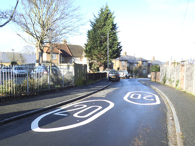
Image: © Stephen Craven Taken: 19 Jan 2014
One of several suburban streets north of Charlton Road that became a 20mph zone in January 2014. But it is a narrow street with a blind corner a little below this, and traffic would rarely have been exceeding 20mph anyway.
Images are licensed for reuse under creativecommons.org/licenses/by-sa/2.0
Image Location
Latitude
51.48004
Longitude
0.030236