Doods Park Road
Introduction
The photograph on this page of Doods Park Road by Ian Capper as part of the Geograph project.
The Geograph project started in 2005 with the aim of publishing, organising and preserving representative images for every square kilometre of Great Britain, Ireland and the Isle of Man.

There are currently over 7.5m images from over 14,400 individuals and you can help contribute to the project by visiting https://www.geograph.org.uk
Doods Park Road
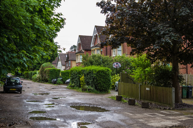
Image: © Ian Capper Taken: 15 Jun 2013
Edwardian houses on an unmade up road off Croydon Road. The 1871 map shows it to have been called Ringley Park Road at that stage, a name now restricted to the section either side of Reigate Road (see Image).
Images are licensed for reuse under creativecommons.org/licenses/by-sa/2.0
Image Location
Latitude
51.240177
Longitude
-0.195685