Ordnance Survey Cut Mark
Introduction
The photograph on this page of Ordnance Survey Cut Mark by Adrian Dust as part of the Geograph project.
The Geograph project started in 2005 with the aim of publishing, organising and preserving representative images for every square kilometre of Great Britain, Ireland and the Isle of Man.

There are currently over 7.5m images from over 14,400 individuals and you can help contribute to the project by visiting https://www.geograph.org.uk
Ordnance Survey Cut Mark
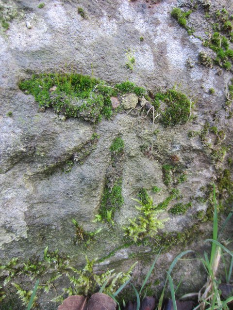
Image: © Adrian Dust Taken: 22 Jan 2014
This moss covered OS cut mark can be found on the wall of No.11 Cnap Llwyd. It and the stone on which it was carved originally would have been part of the NW angle of the house. The house being rebuilt and the stone ending up as part of the boundary wall. When in the house wall it would have marked a point 101.788m above sea level.
Images are licensed for reuse under creativecommons.org/licenses/by-sa/2.0
Image Location
Latitude
51.652006
Longitude
-3.937634