Montgomery Road
Introduction
The photograph on this page of Montgomery Road by Lairich Rig as part of the Geograph project.
The Geograph project started in 2005 with the aim of publishing, organising and preserving representative images for every square kilometre of Great Britain, Ireland and the Isle of Man.

There are currently over 7.5m images from over 14,400 individuals and you can help contribute to the project by visiting https://www.geograph.org.uk
Montgomery Road
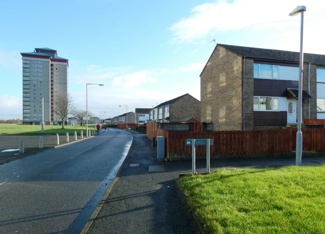
Image: © Lairich Rig Taken: 11 Jan 2014
This is part of the Gallowhill area of Paisley. The path whose beginning is on the near right is Carron Way. In the left background is Image; out of shot to the left are the other two high flats, Image and Image
Images are licensed for reuse under creativecommons.org/licenses/by-sa/2.0
Image Location
Latitude
55.859464
Longitude
-4.407107