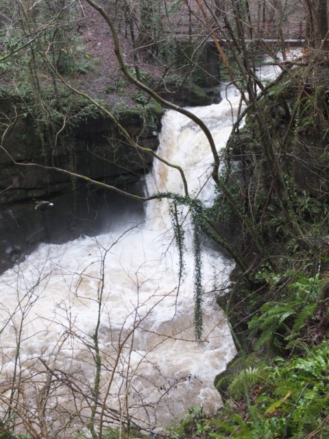
Pwll y rhys
Introduction
The photograph on this page of Pwll y rhys by Alan Bowring as part of the Geograph project.
The Geograph project started in 2005 with the aim of publishing, organising and preserving representative images for every square kilometre of Great Britain, Ireland and the Isle of Man.
There are currently over 7.5m images from over 14,400 individuals and you can help contribute to the project by visiting https://www.geograph.org.uk

Image: © Alan Bowring Taken: 18 Jan 2014
Surprisingly this waterfall is not indicated on most maps. The plunge pool excavated into the Old Red Sandstone bedrock is referred to on older maps as Pwll y rhys which, according to a local expert, translates in local dialect as 'pool of entanglement' or 'pool of fear'. There are a number of other falls on the Clydach, un-named on the map. This was a very wet day - don't expect this much water in normal conditions! The footbridge above it permits a good view down the falls.

