Fields south of Pringleton House
Introduction
The photograph on this page of Fields south of Pringleton House by Andy Farrington as part of the Geograph project.
The Geograph project started in 2005 with the aim of publishing, organising and preserving representative images for every square kilometre of Great Britain, Ireland and the Isle of Man.

There are currently over 7.5m images from over 14,400 individuals and you can help contribute to the project by visiting https://www.geograph.org.uk
Fields south of Pringleton House
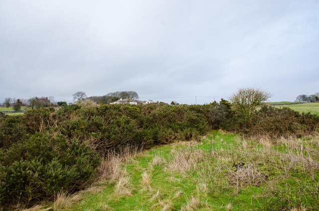
Image: © Andy Farrington Taken: 22 Jan 2014
View north towards the property by the B727.
Images are licensed for reuse under creativecommons.org/licenses/by-sa/2.0
Image Location
Latitude
54.807808
Longitude
-4.118345