Detached house on Dollis Hill Lane
Introduction
The photograph on this page of Detached house on Dollis Hill Lane by David Howard as part of the Geograph project.
The Geograph project started in 2005 with the aim of publishing, organising and preserving representative images for every square kilometre of Great Britain, Ireland and the Isle of Man.

There are currently over 7.5m images from over 14,400 individuals and you can help contribute to the project by visiting https://www.geograph.org.uk
Detached house on Dollis Hill Lane
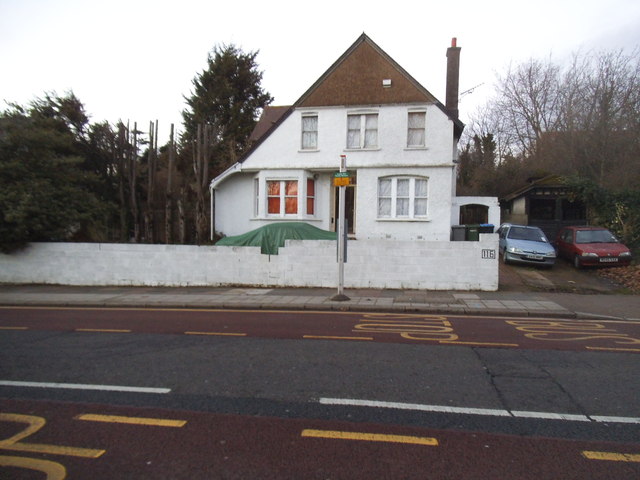
Image: © David Howard Taken: 22 Jan 2014
The houses along here begin with a few Victorian to present day, with most in the entire area all built in the 1930s.
Images are licensed for reuse under creativecommons.org/licenses/by-sa/2.0
Image Location
Latitude
51.560128
Longitude
-0.24031