Homestead Park, Dollis Hill
Introduction
The photograph on this page of Homestead Park, Dollis Hill by David Howard as part of the Geograph project.
The Geograph project started in 2005 with the aim of publishing, organising and preserving representative images for every square kilometre of Great Britain, Ireland and the Isle of Man.

There are currently over 7.5m images from over 14,400 individuals and you can help contribute to the project by visiting https://www.geograph.org.uk
Homestead Park, Dollis Hill
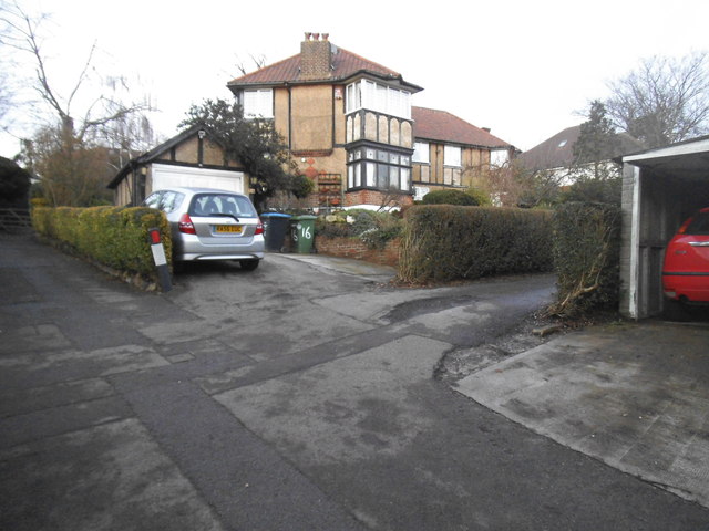
Image: © David Howard Taken: 22 Jan 2014
This is a private road built in 1926 of Arts and Crafts designed blocks.
Images are licensed for reuse under creativecommons.org/licenses/by-sa/2.0
Image Location
Latitude
51.560515
Longitude
-0.242171