Marine Buoy
Introduction
The photograph on this page of Marine Buoy by chris whitehouse as part of the Geograph project.
The Geograph project started in 2005 with the aim of publishing, organising and preserving representative images for every square kilometre of Great Britain, Ireland and the Isle of Man.

There are currently over 7.5m images from over 14,400 individuals and you can help contribute to the project by visiting https://www.geograph.org.uk
Marine Buoy
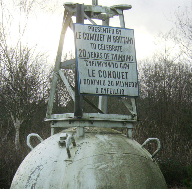
Image: © chris whitehouse Taken: 2 Jan 2014
The reason for a marine buoy on a traffic island: A40 joins the A483; where else can it be put? Twinning gift from Le Conquet in Brittany.
Images are licensed for reuse under creativecommons.org/licenses/by-sa/2.0
Image Location
Latitude
51.89017
Longitude
-3.988556