The B5130 (Kiln Lane) at Cross Lanes
Introduction
The photograph on this page of The B5130 (Kiln Lane) at Cross Lanes by Jeff Buck as part of the Geograph project.
The Geograph project started in 2005 with the aim of publishing, organising and preserving representative images for every square kilometre of Great Britain, Ireland and the Isle of Man.

There are currently over 7.5m images from over 14,400 individuals and you can help contribute to the project by visiting https://www.geograph.org.uk
The B5130 (Kiln Lane) at Cross Lanes
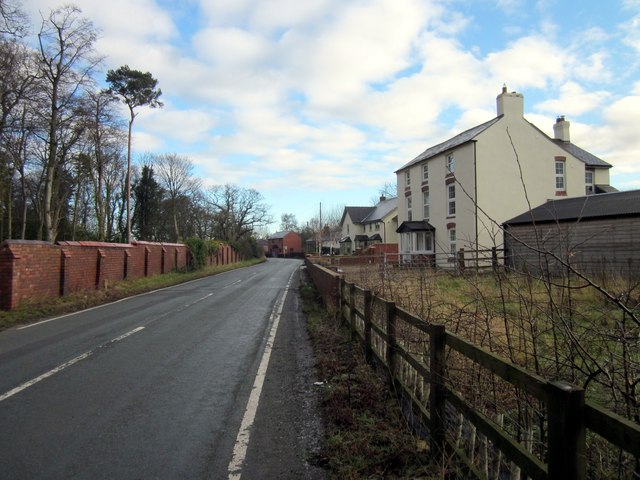
Image: © Jeff Buck Taken: 20 Jan 2014
The building on the right, still marked as a public house on the OS map was the Kiln Inn but is now a private residence.
Images are licensed for reuse under creativecommons.org/licenses/by-sa/2.0
Image Location
Latitude
53.014455
Longitude
-2.935878